1.034.977
kiadvánnyal nyújtjuk Magyarország legnagyobb antikvár könyv-kínálatát

AA Illustrated World Atlas
Traveller's Guide to the Countries of the World


| Kiadó: | Automobile Associations |
|---|---|
| Kiadás helye: | Basingstoke |
| Kiadás éve: | |
| Kötés típusa: | Fűzött kemény papírkötés |
| Oldalszám: | 192 oldal |
| Sorozatcím: | |
| Kötetszám: | |
| Nyelv: | Angol |
| Méret: | 37 cm x 29 cm |
| ISBN: | 0-7495-0165-0 |
| Megjegyzés: | Színes fotókkal, térképekkel. |
Értesítőt kérek a kiadóról
A beállítást mentettük,
naponta értesítjük a beérkező friss
kiadványokról
naponta értesítjük a beérkező friss
kiadványokról
A beállítást mentettük,
naponta értesítjük a beérkező friss
kiadványokról
naponta értesítjük a beérkező friss
kiadványokról
Fülszöveg
ILLUSTRATED
WORLD
jAl X LAS
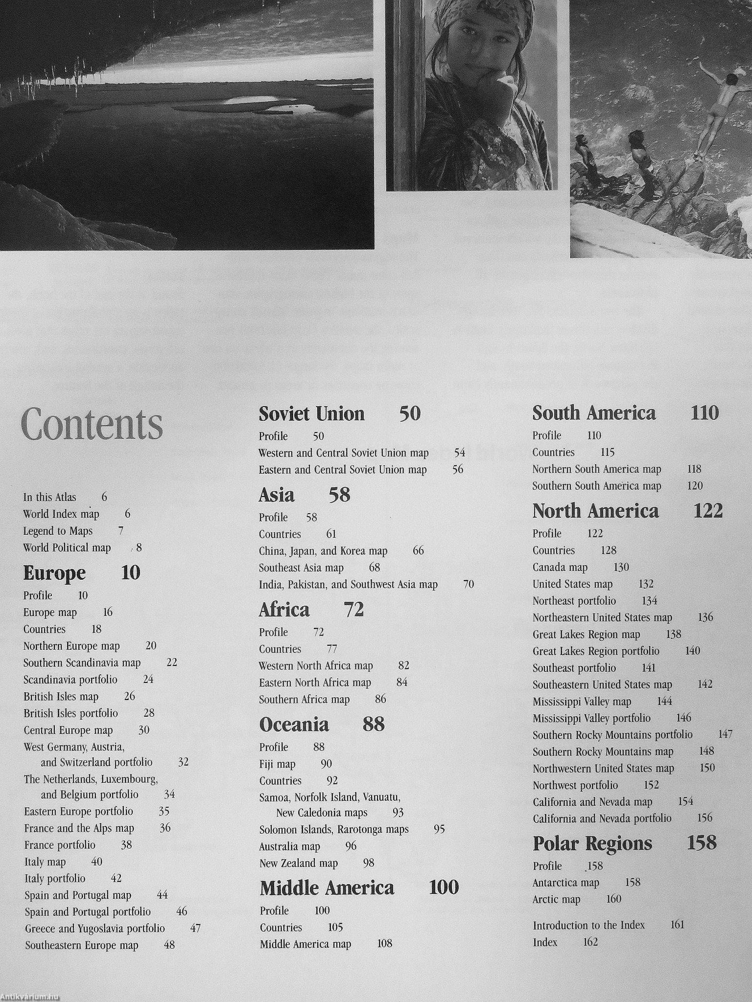
A visual presentation of the world with over 170 full-colour
photographs covering every major region
¦
Authoritative text on the history, culture and geography of the countries of the world, providing a wealth of information in a concise
and readable form ; ¦
Superb full-colour, up-to-date reference maps
¦
20,000 cities, towns and physical features located and fully indexed
¦
A régiónál guide to the world with a profilé on each country featuring the most famous historic and scenic places
M
ILLUSTRATED
WORLD
ATLAS
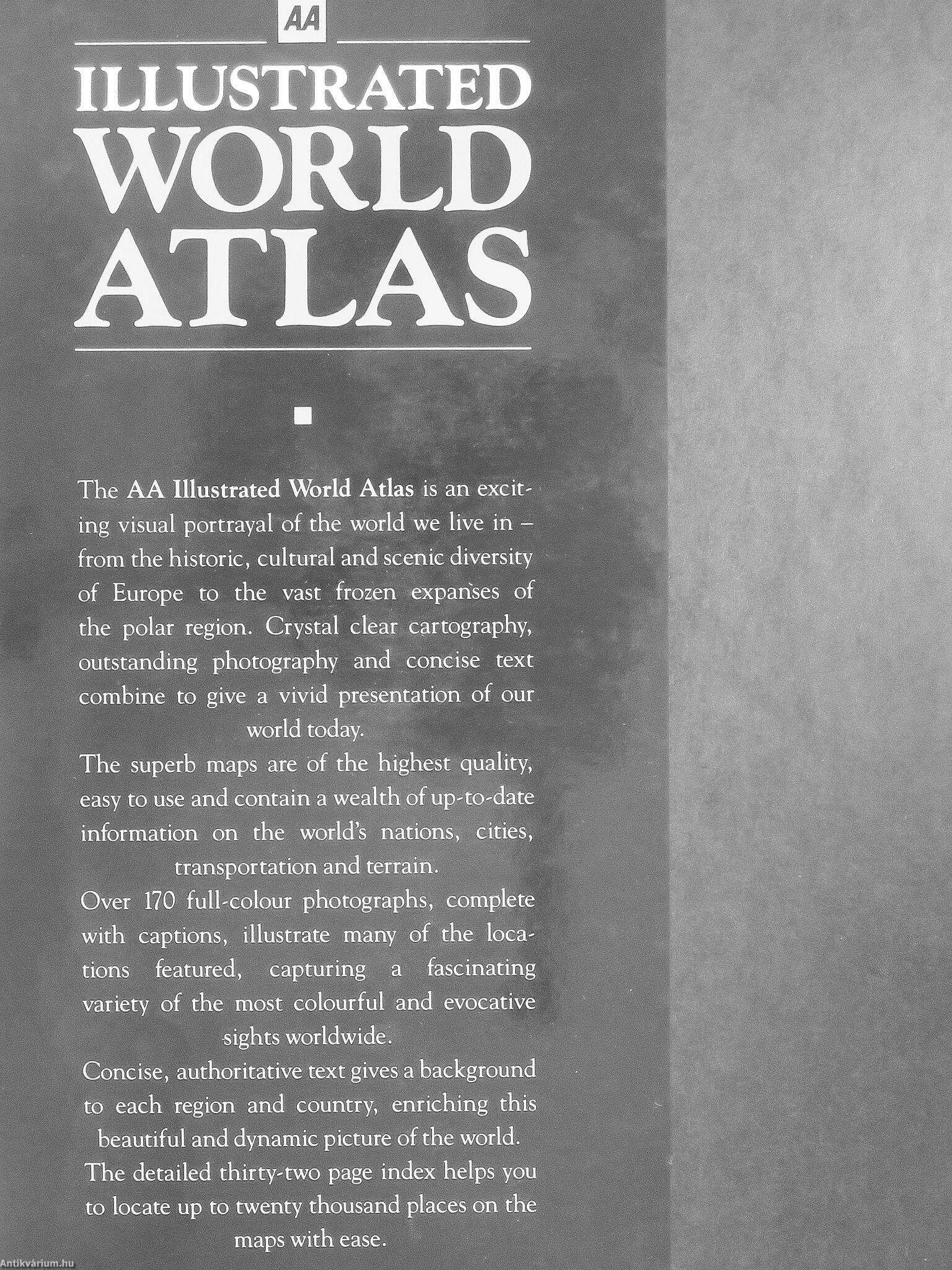
The AA Illustrated World Atlas is an excit-ing visual portrayal of the world we live in -from the historic, cultural and scenic diversity of Europe to the vast frozen exparíses of the polar region. Crystal clear cartography, outstanding photography and concise text combine to give a vivid presentation of our
world today. The superb maps are óf the highest quality, easy to use and contain a wealth of up-to-date information on... Tovább
Fülszöveg
ILLUSTRATED
WORLD
jAl X LAS
A visual presentation of the world with over 170 full-colour
photographs covering every major region
¦
Authoritative text on the history, culture and geography of the countries of the world, providing a wealth of information in a concise
and readable form ; ¦
Superb full-colour, up-to-date reference maps
¦
20,000 cities, towns and physical features located and fully indexed
¦
A régiónál guide to the world with a profilé on each country featuring the most famous historic and scenic places
M
ILLUSTRATED
WORLD
ATLAS
The AA Illustrated World Atlas is an excit-ing visual portrayal of the world we live in -from the historic, cultural and scenic diversity of Europe to the vast frozen exparíses of the polar region. Crystal clear cartography, outstanding photography and concise text combine to give a vivid presentation of our
world today. The superb maps are óf the highest quality, easy to use and contain a wealth of up-to-date information on the world's nations, cities,
transportation and terrain. Over 170 full-eolour photographs, complete with captions, illustrate many of the loca-tions featured, capturing a fascinating variéty of the most colourful and evocative
sights worldwide. Concise, authoritative text gives a background to each region and country, enriching this
beautiful and dynamic picture of the world. The detailed thirty-two page index helps you to locate up to twenty thousand places on the maps with ease. Vissza

Témakörök
- Idegennyelv > Idegennyelvű könyvek > Angol > Művészetek > Fotóművészet
- Idegennyelv > Idegennyelvű könyvek > Angol > Természettudományok > Földrajz
- Természettudomány > Földrajz > Kontinensek földrajza > Téma szerint > Általában
- Természettudomány > Földrajz > Atlaszok, térképek
- Természettudomány > Földrajz > Idegen nyelv > Angol
- Művészetek > Fotóművészet > Albumok > Tematikus
- Művészetek > Fotóművészet > Idegen nyelv > Angol
- Művészetek > Fotóművészet > Témái > Tájfényképészet
Megvásárolható példányok
Nincs megvásárolható példány
A könyv összes megrendelhető példánya elfogyott. Ha kívánja, előjegyezheti a könyvet, és amint a könyv egy újabb példánya elérhető lesz, értesítjük.