Fülszöveg
REFERENCE—ATLASES
RANDOM HOUSE
WORLD ATLAS
^ ENCYCLOPEDIA
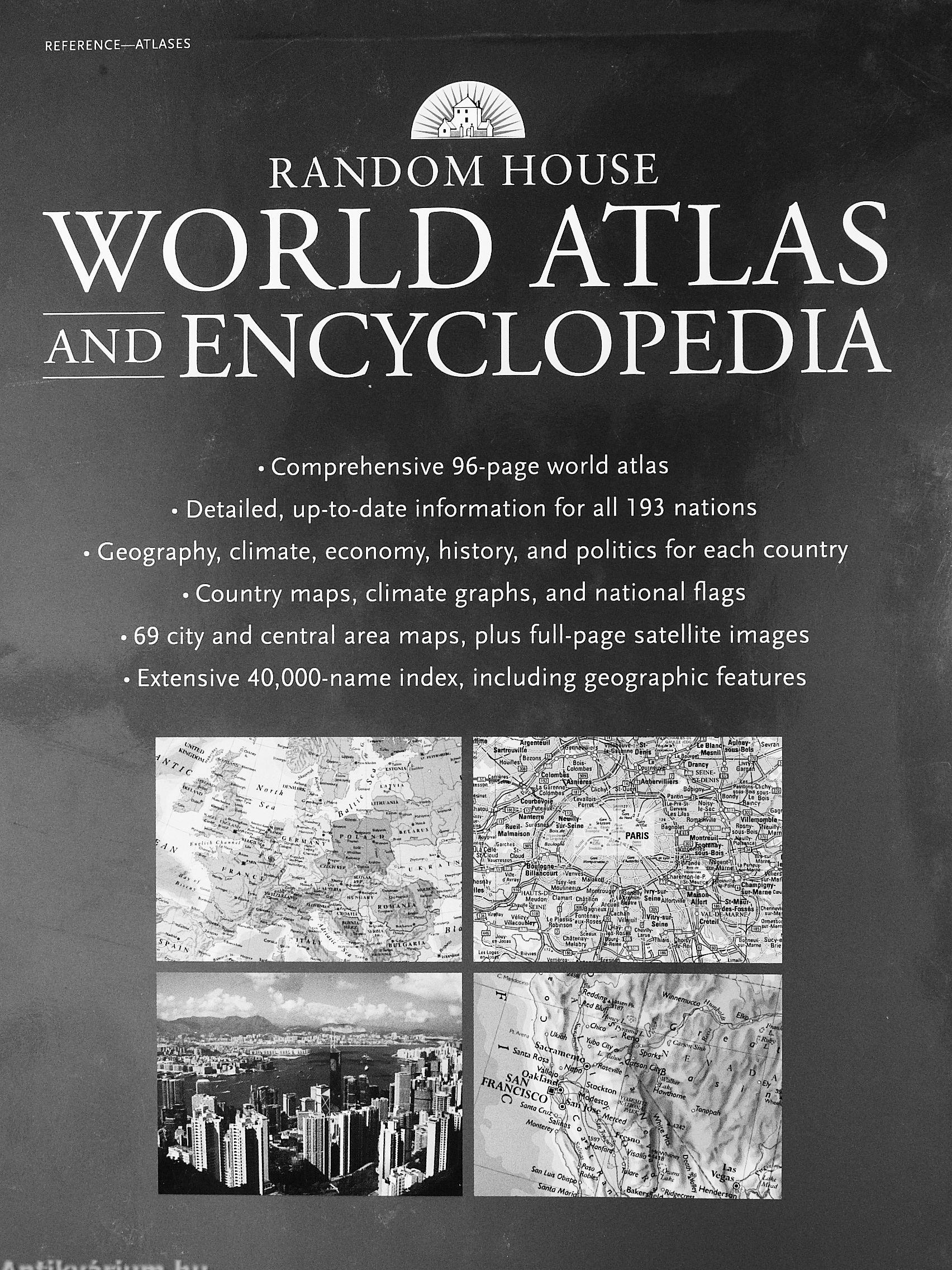
• Comprehensive 96-page world atlas • Detailed, up-to-date information for all 193 nations Geography, climate, economy, history, and politics for each country • Country maps, climate graphs, and national flags
• 69 city and central area maps, plus full-page satellite images
• Extensive 40,000-name index, including geographic features
random house
world atlas
ENCYCLOPEDIA
This complete geographical reference work provides authoritative full-color maps, detailed entries, and up-to-date statistics for every country in the world. Arranged alphabetically from Afghanistan to Zimbabwe, each country's profile includes geography, climate, history, politics, and economy. Tables highlight the key statistics of area, population, government, ethnic groups, languages, religions, and currency. Over 230 flags are shown in color, with a summary of their origin and significance, while over 300 climate graphs with informative...
Tovább
Fülszöveg
REFERENCE—ATLASES
RANDOM HOUSE
WORLD ATLAS
^ ENCYCLOPEDIA
• Comprehensive 96-page world atlas • Detailed, up-to-date information for all 193 nations Geography, climate, economy, history, and politics for each country • Country maps, climate graphs, and national flags
• 69 city and central area maps, plus full-page satellite images
• Extensive 40,000-name index, including geographic features
random house
world atlas
ENCYCLOPEDIA
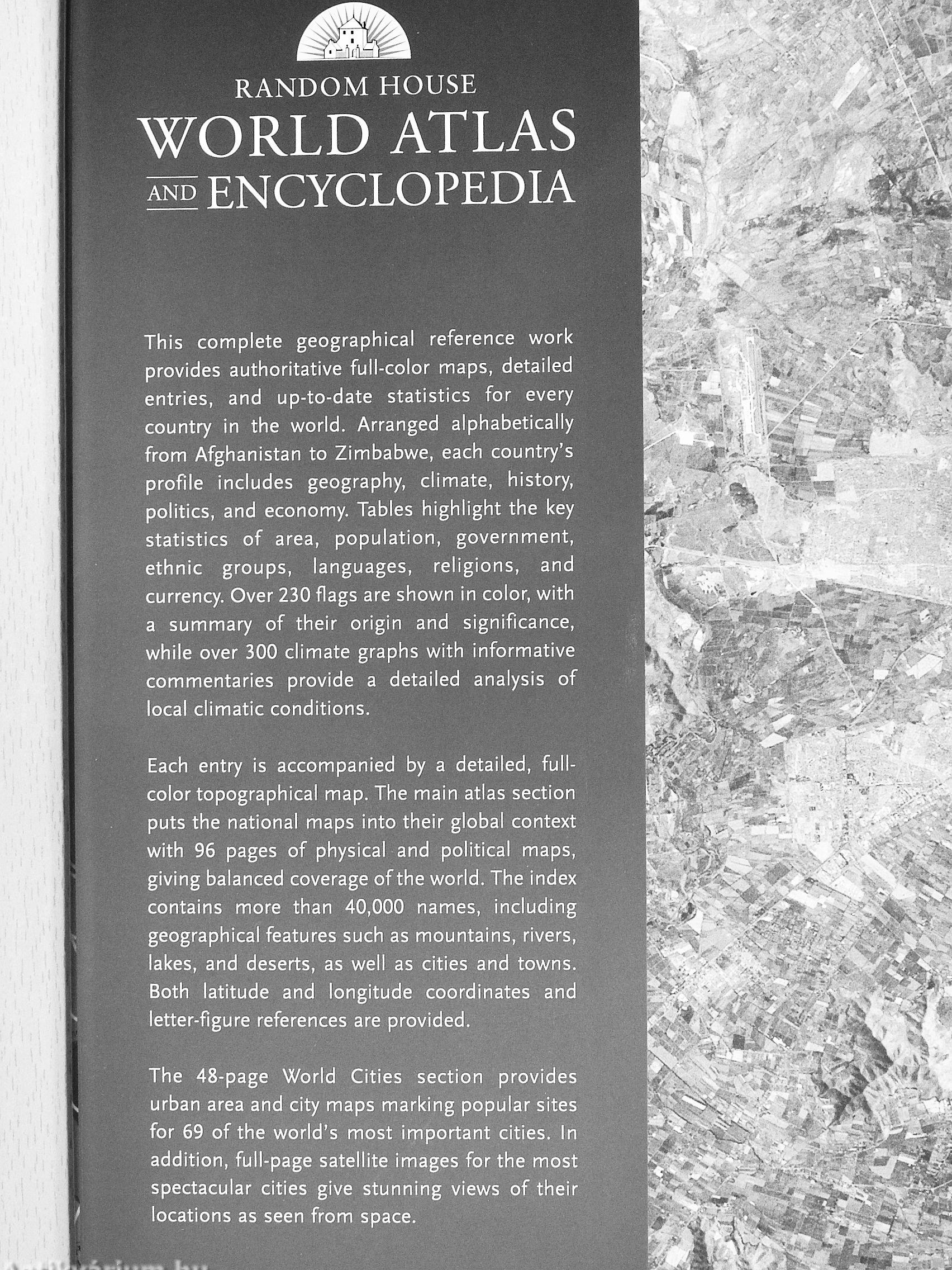
This complete geographical reference work provides authoritative full-color maps, detailed entries, and up-to-date statistics for every country in the world. Arranged alphabetically from Afghanistan to Zimbabwe, each country's profile includes geography, climate, history, politics, and economy. Tables highlight the key statistics of area, population, government, ethnic groups, languages, religions, and currency. Over 230 flags are shown in color, with a summary of their origin and significance, while over 300 climate graphs with informative commentaries provide a detailed analysis of local climatic conditions.
Each entry is accompanied by a detailed, full-color topographical map. The main atlas section puts the national maps into their global context with 96 pages of physical and political maps, giving balanced coverage of the world. The index contains more than 40,000 names, including geographical features such as mountains, rivers, lakes, and deserts, as well as cities and towns. Both latitude and longitude coordinates and letter-figure references are provided.
The 48-page World Cities section provides urban area and city maps marking popular sites for 69 of the world's most important cities. In addition, full-page satellite images for the most spectacular cities give stunning views of their locations as seen from space.
Vissza